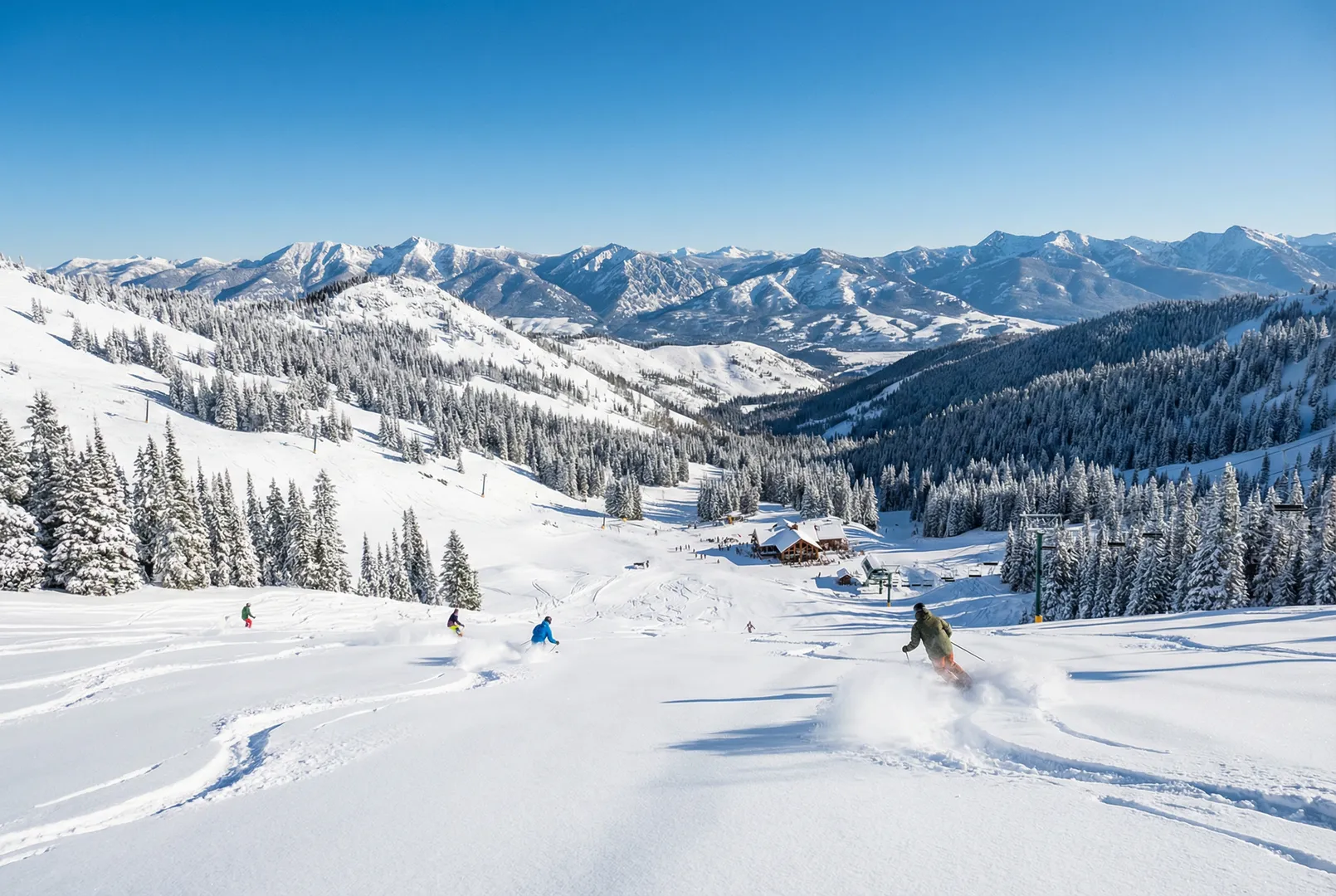
Lost Trail Powder Mountain
USA
Elevation
1,960m – 2,550m
Lifts
50
Slopes
50 km
Airport
Bozeman Yellowstone International Airport (BZN) - 217 km
About Lost Trail Powder Mountain
Lost Trail Powder Mountain is a ski resort in USA, located in the Montana region. It spans elevations from 1,960m to 2,550m with a 590m vertical drop and offers 50.0 km of slopes served by 50 lifts.
Détails du domaine skiable
Statistiques clés
Sommet2,550m
Base1,960m
Dénivelé590m
Total des remontées mécaniques50
Total des pistes50 km
Mountain Weather
Skiing: Poor
3°C
Rain
Ressenti1°C
Vent6 km/h
Humidité81%
Neige12 cm
11°C0°C06:5320:202 550m
5-Day Forecast
Tue
8°C/-2°C
0.2mm
13 km/h
Wed
6°C/-1°C
0.3 cm
18 km/h
Thu
-2°C/-7°C
0.6mm
18 km/h
Fri
0°C/-7°C
0.1mm
15 km/h
Sat
5°C/-7°C
0.5mm
11 km/h
Data: Visual Crossing · Updated 00:00
Ski Area Map
Explore the ski runs and pistes around Lost Trail Powder Mountain. Toggle the ski piste overlay using the layer control.
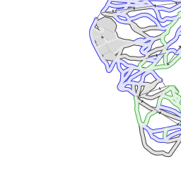
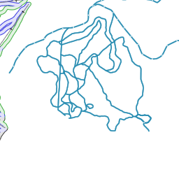


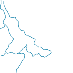


Ski piste data from OpenSnowMap.org (CC-BY-SA)
Infos sur la station
- Pays
- USA
- Écoles
- 0 listed
- Altitude maximale
- 2550m
- Remontées mécaniques
- 50
- Total des pistes
- 50 km
- Aéroport le plus proche
- Bozeman Yellowstone International Airport (BZN) - 217 km
Avis
No reviews yet. Be the first to review Lost Trail Powder Mountain!

Nearby Resorts in USA
Discover more ski resorts in USA
Station
Altitude
Pistes
Remontées mécaniques
Granlibakken
2015m2km2 lifts
Pine Creek
2508m16km16 lifts
Valdez Heli-Ski Guides
3657m
Mont Ripley
330m6.9km6 lifts
Sunset Ski Area
2518m
Treetops
406m4.4km4 lifts